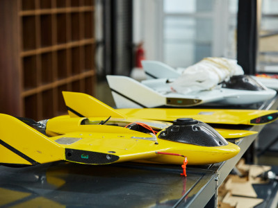
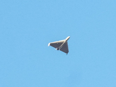
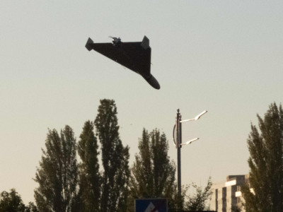
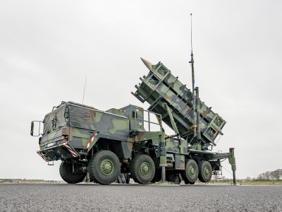
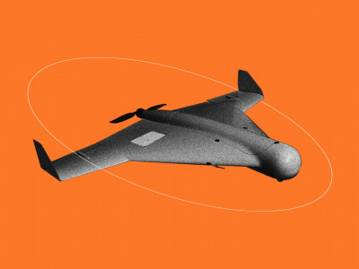
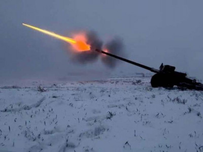
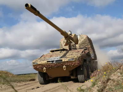
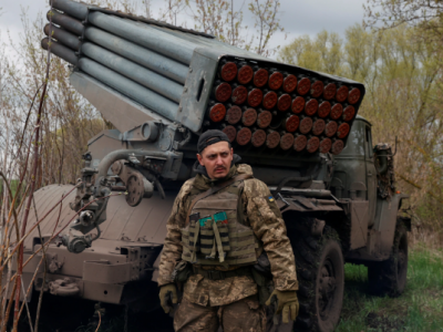
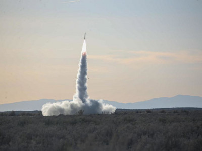
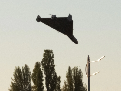
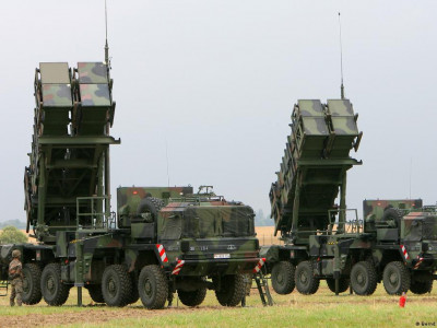
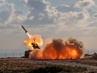
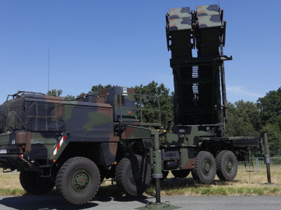
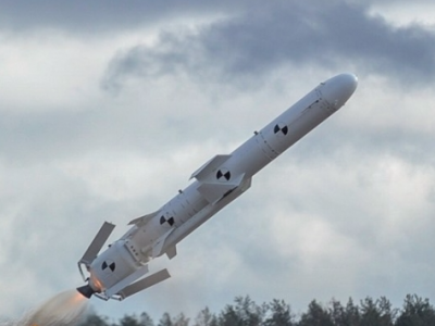
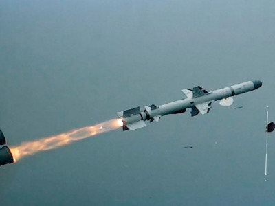
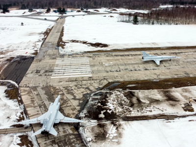
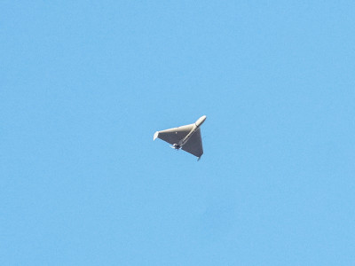
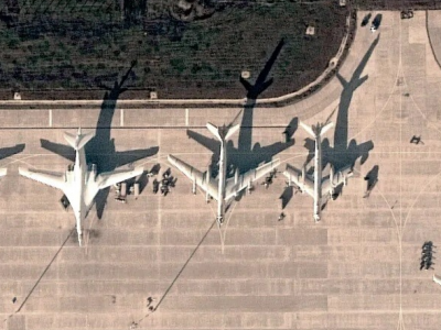
Photography with exact reference to coordinates: characteristics of the Ukrainian SKIF drone
- Last
- June, 26
-
-
-
-
-
-
-
-
-
-
-
-
-
-
-
-
-
-
-
More news
News by day
Today,
27 of June 2026
27 of June 2026
Related news


More news